Map Analysis of Potential Flood Prone Areas in Rajabasa District Bandar Lampung City
Author (s) : Alda Mutiara Putri, Dedy Miswar1, Sugeng Widodo1, Irma Lusi1, Pargito1, Fauziah Aryati2
Institution : University of Lampung, Indonesia
Category : Article, IJMMU
Topics : ArcGis; Flood; Vulnerability; Scoring; Overlay
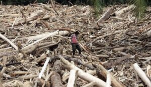
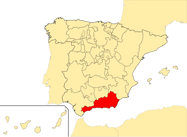
Rajabasa District Bandar Lampung City Lampung Province, has a significant history of flooding. Based on BPS data, Rajabasa District, Bandar Lampung City, over the last 5 years, 15 major floods have been recorded from 2019 to 2023, this has resulted in material losses for the community. This research aims to analyze the level of vulnerability to flood disasters in Rajabasa District, Bandar Lampung City by paying attention to various factors that contribute to floods, namely rainfall, slope, land cover, soil type and geology. This research uses the overlay method of each parameter with the geographic information system (GIS) approach of the ArcGIS application and scoring and interval techniques to produce maps that identify areas at high risk of flooding. The research results show that the main factor causing flooding in Rajabasa District, Bandar Lampung City is the slope which tends to be dominated by flat slopes in Rajabasa District of 0-8%. Subdistricts with a very high level of flood vulnerability are Rajabasa, Rajabasa Raya, Rajabasa Jaya, Gedong Meneng and Gedong Meneng Baru subdistricts with a flood prone class classification covering an area of 412.68 ha with a percentage of 33.92% of the total Rajabasa subdistrict. Areas classified as flood prone are in Rajabasa Nunyai, Rajabasa Pramuka, Rajabasa, Rajabasa Raya, Rajabasa Jaya, Gedong Meneng and Gedong Meneng Baru sub-districts with the largest area in Rajabasa District covering an area of 762.18 ha and a percentage of 62.65% of the area of Rajabasa District. The area with the lowest classification, namely the slightly flood-prone class, is spread across Rajabasa Nunyai, Rajabasa Pramuka, Rajabasa , Rajabasa Jaya, and Gedong Meneng sub-districts covering an area of 41.88 ha with only 3.44% of the area of the entire Rajabasa District, Bandar Lampung City.
Article can be downloaded here >> Map Analysis of Potential Flood Prone Areas in Rajabasa District Bandar Lampung
City