Land Cover Change Prediction Model Using the Cellular Automata Method in 2036 in North Kotabumi District

Author(s): Syaiful M; Dedy Miswar; Rahma Kurnia Sri Utami; Eka Hariyati; Aristoteles; Fauziah Ariyati
Institution: University of Lampung
Category: Article, IJMMU
Topics: Land Cover; Cellular Automata; Satellite Imagery; GIS
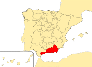
High population growth will of course be followed by increasing needs, including the need for land both for housing and other supporting facilities. Remote sensing is one technology that can be used for these activities. This research aims to find out how land cover changes occur and predict land cover changes in North Kotabumi District in 2036 using the Cellular Automata (CA) method. This research uses Landsat images from 2008, 2015 and 2022. The classification method used in this research is Maximum Likelihood. The variables used in this research are slope, road, settlement and soil type. The results of the research show that there will be changes in land cover in Kotabumi Utara District in 2036, one of which is a reduction in the area of land cover for dry land agricultural types, namely 146.95 hectares or 1.58%.
Article can be downloaded here >>Land Cover Change Prediction Model Using the Cellular Automata Method in 2036 in North Kotabumi District | M | International Journal of Multicultural and Multireligious Understanding